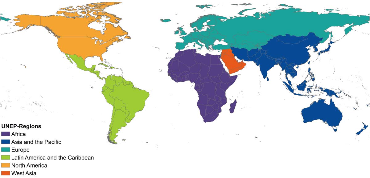
GEMStat hosts a large variety of water quality data from countries worldwide. The regional subdivision follows the classification of UNEP-Regions (i.e. where the United Nations Environment Programme has Regional Offices).
In the following you find background information about the geographic and temporal coverage of GEMStat as well as available station types and parameters.
Geographic data coverage
As of January 2026, GEMStat contains more than 61 million entries (more than doubled over the last year) from over 31,0000 stations in more than 90 participating countries. The largest number of the data by far comes from river stations, followed by data from groundwater and lakes. The largest coverage of stations, as well as sample value coverage, is currently in Europe and Latin America and the Caribbean.


Temporal coverage
GEMS/Water was founded as a global network for water quality monitoring in 1978. Overall, data is available for the time period from 1906 to 2023, covering a total time frame of 117 years. The longest time series are currently available from North America. The most recent samplings (2024 and 2025) are currently available from Belgium, Croatia, Iceland, Ireland, Japan, Latvia, Lithuania, the Netherlands, Portugal, the Republic of Korea, the Russian Federation, Slovenia, and Cyprus.

Parameter coverage
Parameters in GEMStat are classified following the CUAHSI Hydrosphere Ontology. In total, more than 600 parameters are available, which are classified into a hierarchical system of groups and subgroups.
GEMStat catalogue (XLSX-File)Currently, most GEMStat data falls within the category chemical parameters, followed by physical parameters, while biological parameters represent only a minor proportion. The largest proportion is contributed by organic compounds, followed by inorganics, and nutrients.